About a century ago, Dr. E. Lucy Braun, a University of Cincinnati ecologist, explored this wet bottomland forest, formerly a St. Anne Convent property. Regional colleges and universities have regularly used the forest to study the wetland flora and fauna rare to this region. To permanently protect this unique habitat and make the site available for environmental education and research, the Campbell County Conservation District purchased this land with funds provided by the Kentucky Heritage Land Conservation Fund.

Map of the trails for the St. Anne Wetlands south.
TRAIL DESCRIPTION
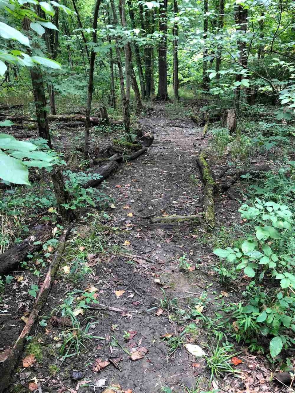
The trail leads past a depression forest and then follows a low ridge to the end of the path, located 2,150 feet from this point. The depression forest (learning stations A, B, and C) consists of tree species that can tolerate seasonal flooding, e.g. pin oak, cottonwood, sycamore, green ash, and red maple.
Upon reaching the low ridge (D), the trail either proceeds to the right or to the left. The left tail forms a loop to return to the entrance, while stopping at station (F) where wetland restoration took place. The trail to the right from (D) proceeds through an area where old-growth upland forest was cleared to allow the cultivation of crops and pasturing of livestock. An early second-growth forest has developed in the decades since the farmland was abandoned. The woodland contains such trees as sassafras, black cherry, and tulip poplar.
The right trail from (D) bridges a creek and enters a grove of beech trees (E). The homesteader spared this remnant of the original forest to provide beechnuts for foraging hogs and serve as a source of lumber and firewood. The trail ends in the beech grove and visitors can either return to the entrance by retracing their steps or crossing the second bridge and taking the northern circuit trail across another bridge and through the depression forest to rejoin the initial trail at learning station (C).
A Northern Kentucky University (NKU) Community Partnership Grant supported trail construction and its signage. Now research and educational programs are run through the NKU Research and Education Field Station (REFS).
TRAIL USE ETIQUETTE
Please help maintain good trails for the enjoyment and safety of all users as well as
protecting the surrounding flora and fauna.